

Langtang
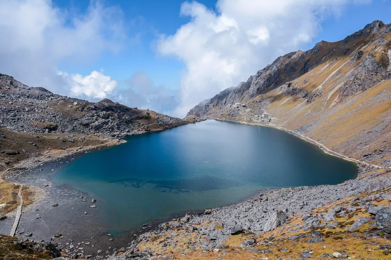
Gosainkunda Lake
A steep climb from Dhunche to the glacial lakes of Gosainkunda, then back to Dhunche or across the Laurebina pass and the Helambu region to the edge of Kathmandu.
- Walking days 4–8 days
- Highest point 4,610 m
- Level Challenging
- Permits 5,000 NPR (≈ €29)
- Start Kathmandu
- Mandatory guide, checked
At a glance
From Dhunche, the trail climbs relentlessly through forest to Sing Gompa (Chandanbari), then comes out onto a ridge facing Langtang Lirung and Ganesh Himal. You reach Gosainkunda Lake (4,380 m), Shiva's sacred lake, surrounded by other glacial lakes.
You head back down to Dhunche, or cross the Laurebina pass (4,610 m) and traverse the Helambu region to Sundarijal, less than an hour and a half by bus from Kathmandu: no long bus ride home.
Highlights
- The sacred lake and its neighbours, in high mountain terrain
- The view from Laurebina over Langtang Lirung and Ganesh Himal
- The Helambu traverse, through less and less visited villages
- Kathmandu within bus range at both start and finish
Drawbacks
- A very fast ascent: from 1,960 to 4,380 m in three days, a real risk of altitude sickness (AMS)
- Guide mandatory and checked in Langtang National Park
- Pass closed in winter, lake frozen from December to February, high lodges closed
- Access via Dhunche disrupted since the August 2026 flood
In pictures


Route
Up via Sing Gompa and Laurebina; back to Dhunche in one long day, or across the pass and through Helambu.
- Road (bus)
- Track (jeep)
- Chosen route
- Other possible trails
- Optional side trip
- Possible start or finish
Drag the “Start” and “Finish” labels to another served point, or tap a point. The “+” buttons add a side trip. Zoom with + and − (or Ctrl + scroll wheel), then drag the map to move around.
How do I use it in a hiking app?
The file contains the route you chose on the map (start, finish, side trips), with altitude, and a marker for each night, pass and viewpoint.
- Organic Maps or Maps.me (free, offline): download the Nepal map before you leave, then open the GPX file from your phone and choose the app.
- OsmAnd: menu “My places” → “Tracks” → “Import”.
- Komoot, Gaia GPS, Wikiloc, Garmin: use the app's or website's “Import a GPX file” feature.
With no signal, your phone's GPS still works: you can see your position on the track. The track is indicative: on the ground, waymarks and advice from the lodges come first.
Itinerary
- D 0Dhunche1,960 m
- D 1Sing Gompa3,330 m+1,370 m8 km1,360 m30 m
- D 2Laurebina via Cholangpati3,930 m+600 m5 km570 m30 m
- D 3Gosainkunda4,380 m+450 m4 km530 m20 m
- D 4Dhunche via Laurebina, Cholangpati, Sing Gompa1,960 m−2,420 m17 km50 m2,470 m
- Dhunche — Bus from Machhapokhari or Gongabu (Kathmandu): 7 to 10 hrs, 700 to 1,000 NPR (≈ €4 to €6); shared jeep 2,000 to 2,500 NPR (≈ €12 to €14). ⚠ After the flood of 26 August 2026: temporary track as far as Betrawati since early October, Bailey bridge being finished, Dhunche not yet confirmed: check before you go.
- Dhunche — Descent from the lake to Dhunche in one day (about 7 hrs), then bus or jeep to Kathmandu.
Elevation
Permits
The Langtang National Park entry fee, paid in Kathmandu or at the Dhunche checkpoint. If you exit via Sundarijal, you also cross Shivapuri Nagarjun National Park (1,000 NPR (≈ €6), paid at Chisapani or Sundarijal).
National park
Langtang National Park
3,000 NPR (≈ €17)
At the Nepal Tourism Board in Kathmandu or at the Dhunche checkpoint, on the road.
Trekker card
TIMS card
2,000 NPR (≈ €12)
Issued only by a licensed agency since April 2023: it goes hand in hand with hiring a guide. See the Guide and porter page.
Guide
Mandatory guide, checked
Licensed guide mandatory in Langtang National Park, which includes Gosainkunda and Helambu; the rule is enforced, especially at Dhunche.
Budget 25 to 30 USD (≈ €22 to €27) a day for a guide. See Guide and porter.
A guide for this trek? The Guides Nepal directory lists guides, porters and agencies who know this trek, with their licence checked, the languages they speak and traveller reviews.
Transport
Getting to the start
Kathmandu → Dhunche
Bus from Machhapokhari or Gongabu, in the morning; shared jeep 2,000 to 2,500 NPR (≈ €12 to €14) (6 to 7 hrs). ⚠ The Bhainse–Betrawati section was washed away by the August 2026 flood: temporary track since early October, Betrawati Bailey bridge being finished (opening targeted before 12 October).
Getting back
Sundarijal → Kathmandu
Frequent local buses, or taxi.
Dhunche → Kathmandu
Same road as on the way in.
When to go
IdealPossibleNot advised
October to mid-November and mid-March to April: the best periods. In August, the Janai Purnima festival draws thousands of pilgrims to the lake.
December to February: lake frozen, Laurebina pass usually closed, several high lodges closed. Monsoon: rain, leeches and landslides on the road.
On the trail
| Accommodation | Basic lodges: about ten at Sing Gompa, two or three at Laurebina and at the lake. No lodge between Laurebina and the lake. |
| Budget | About 30 to 45 USD (≈ €27 to €40) a day, excluding guide and permits. |
| Money | No ATM after Dhunche; withdraw in Kathmandu. |
| Signal | Decent at Dhunche and Thulo Syabru, weak after Sing Gompa, very patchy at the lake. |
Good to know before you go
What about the visa? A two-week trek plus a few days in Kathmandu and Pokhara quickly adds up to more than 15 days: get the 30-day visa. The calculator on our sister site Visa Nepal shows the cheapest length.
Which visa length?Comments
A question, recent news from the trail, your own experience? Share it here.
Other treks
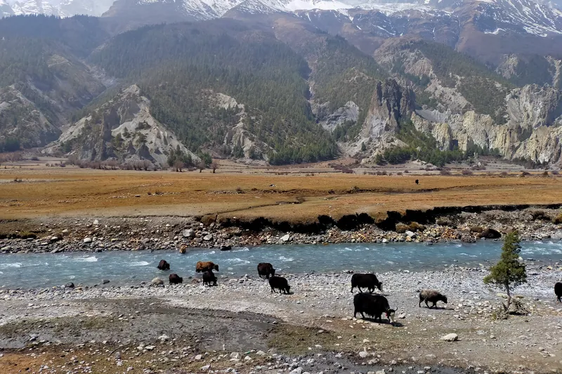 AnnapurnaAnnapurna CircuitThe great classic, over the Thorong La pass9–20 days5,416 m maxDemandingMandatory guide, checks varySee the trek
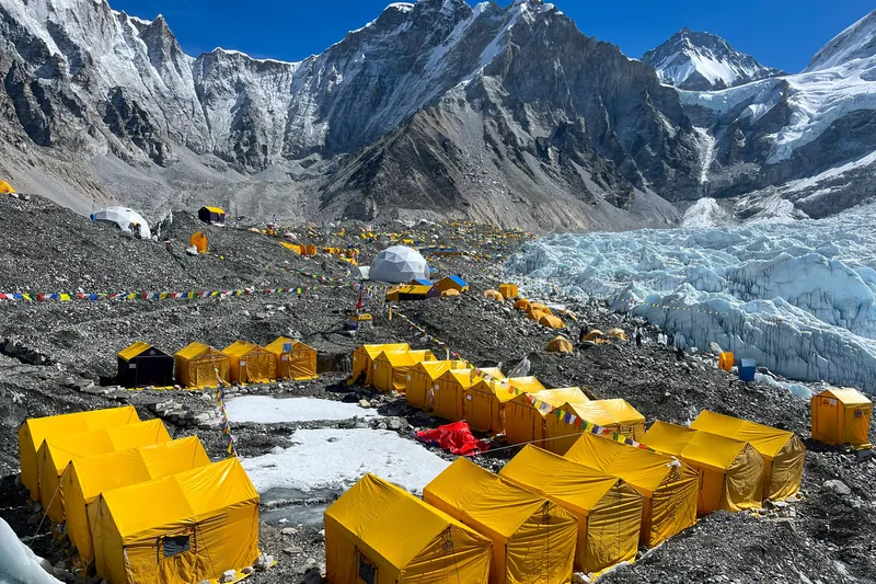 KhumbuEverest Base CampAt the foot of the roof of the world, via Namche and Kala Patthar11 days5,645 m maxDemandingGuide not requiredSee the trek
 Everest (Khumbu)Gokyo LakesTurquoise lakes and the finest view of Everest10–14 days5,645 m maxDemandingGuide not requiredSee the trek
 Everest (Khumbu)Three Passes TrekThe grand Khumbu loop over three passes above 5,300 m17 days5,645 m maxVery demandingGuide not requiredSee the trek
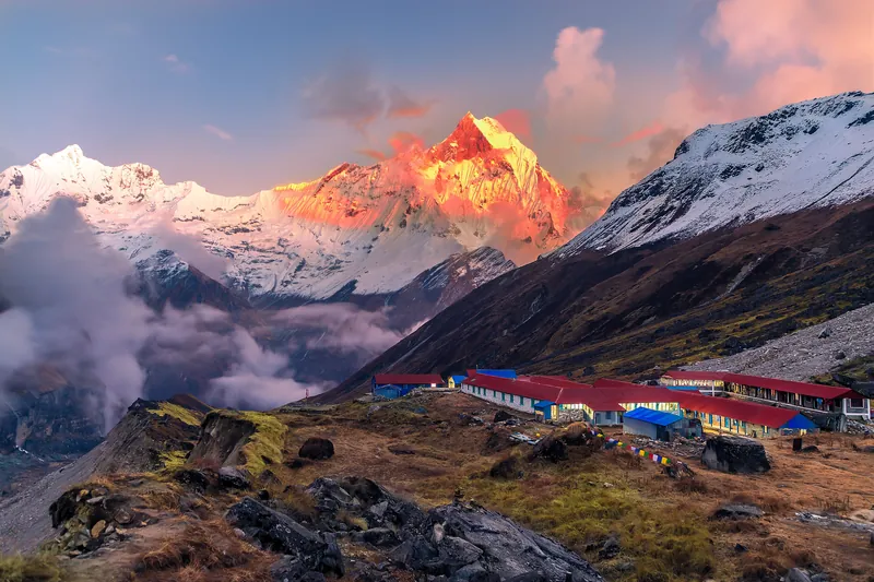 AnnapurnaAnnapurna Base CampAn amphitheatre of ice at 4,130 m5–11 days4,130 m maxChallengingMandatory guide, checks varySee the trek
 AnnapurnaPoon HillSunrise over the Annapurnas in three days3–5 days3,210 m maxModerateMandatory guide, checks varySee the trek
 AnnapurnaKhopra DandaPoon Hill without the crowds, and a ridge facing Dhaulagiri6–7 days4,660 m maxChallengingMandatory guide, checks varySee the trek
 AnnapurnaMardi HimalA ridge facing Machapuchare, an hour from Pokhara5–6 days4,500 m maxChallengingMandatory guide, checks varySee the trek
 Annapurna (Mustang)Upper MustangThe old kingdom of Lo, Tibet on foot, doable even in the monsoon5–13 days4,280 m maxChallengingAgency and guide mandatorySee the trek
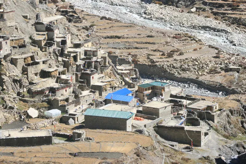 AnnapurnaNar Phu ValleyTwo timeless villages just off the Annapurna Circuit8–9 days5,320 m maxDemandingAgency and guide mandatorySee the trek
 LangtangLangtang ValleyGlaciers and Tamang villages, a day from Kathmandu6–10 days4,984 m maxModerateMandatory guide, checkedSee the trek
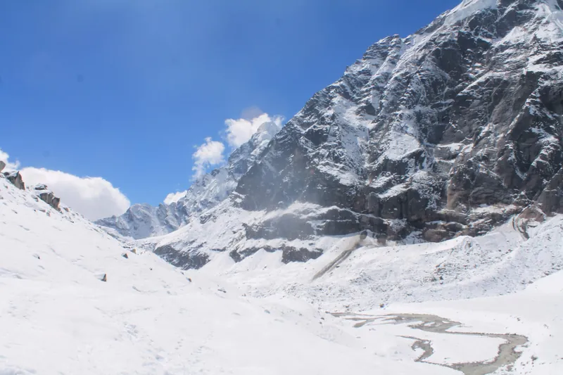 Eastern NepalMakalu Base CampAt the foot of the world's 5th-highest mountain, far from the crowds12–16 days4,830 m maxDemandingMandatory guide, checks varySee the trek
 Western NepalRara LakeNepal's largest lake, at the far end of the west2–6 days3,680 m maxModerateMandatory guide, checks varySee the trek
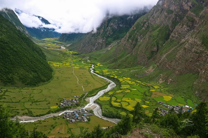 ManasluTsum ValleyA Buddhist valley left apart, at the foot of Ganesh Himal9–17 days5,106 m maxChallengingAgency and guide mandatorySee the trek
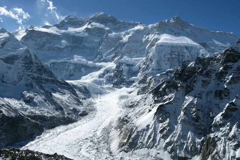 Eastern NepalKanchenjungaAt the foot of the world's 3rd-highest peak, at the country's far eastern edge10–14 days5,140 m maxVery demandingAgency and guide mandatorySee the trek
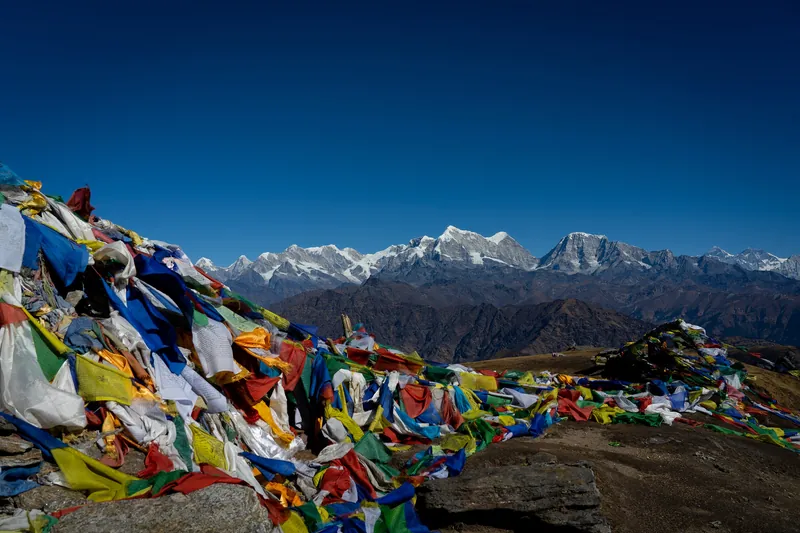 SolukhumbuPikey PeakSunrise over Everest, without a flight to Lukla5 days4,065 m maxModerateGuide not requiredSee the trek
 Jiri (Ramechhap)Numbur Cheese CircuitA wild circuit around Numbur, between high lakes and cheese factories11 days4,880 m maxDemandingMandatory guide, checkedSee the trek
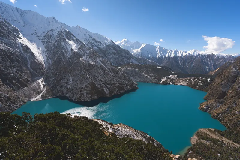 Western Nepal (Dolpo)Phoksundo LakeDolpo's turquoise lake, at the far end of the west7 days3,680 m maxChallengingMandatory guide, checks varySee the trek
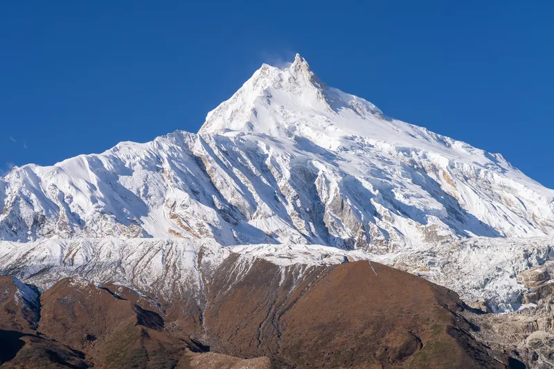 ManasluManaslu CircuitThe wild circuit, over the Larkya La11–13 days5,106 m maxDemandingAgency and guide mandatorySee the trek
Loading comments…